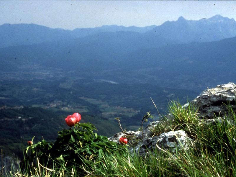
A summary of centuries of history intertwined with harsh nature and human constancy


- Departure: Corfino (851m)
- Arrival: Corfino (851m)
- Duration: 5 hour/s 30 minutes
- Difficulty Level: E - Hiking (level)
- Difference in height: 790m
- Maximum Altitude: 1,603m
- Recommended Period: from March to November
- Localities Crossed: Corfino - Grottacce - Campaiana - Pania - Isera - Corfino
- Involved Municipalities: San Romano in Garfagnana, Villa Collemandina
Zona del Parco: Zone A - Orecchiella and Upper Garfagnana
The itinerary crosses several natural environments and landscapes: it connects the historical town of Corfino with its historical summer grazing land, the network of hedges and fields around the town, the grazing lands of Bandita, the calcareous cliffs of Grottaccee, the panoramas from the white summit of the Pania, the gloomy valley of Buca dei Lupi, the huts of Pruno with the roof in rye straw.
Stops: hotels, restaurants, and shops in Corfino (info: +39 0583 65169)
Seasonal trattoria in Campaiana (Il Fungo +39 0583 68680)
Isera Mountain Hut (18 beds and 5,000 square meters for tents, Tel. +39 0583 660203 / +39 328 8741894 / +39 339 6520948, info@rifugioisera.it)


