

- Departure: Ponteccio (980m)
- Arrival: Ponteccio (980m)
- Duration: 5 hour/s
- Difficulty Level: E - Hiking (level)
- Difference in height: 750m
- Maximum Altitude: 1,782m
- Recommended Period: from June to October
- Localities Crossed: Ponteccio - La Corona - M. Tondo - Ponteccio
- Involved Municipalities: Giuncugnano
Zona del Parco: Zone A - Orecchiella and Upper Garfagnana
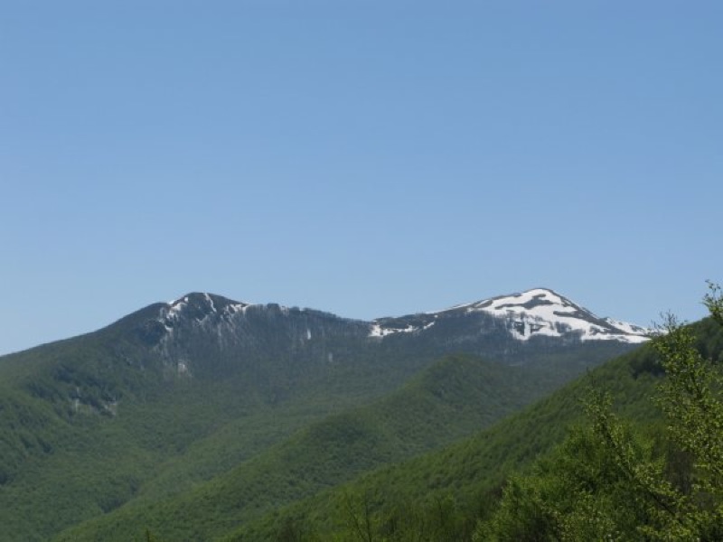
Mt. Tondo divides the basins of Serchio and Magra, and Garfagnana from Lunigiana. You will climb along the panoramic trail to the grassy summit, whose name is already a description of it, and then you will go down passing through the town of Magliano.
Stops: Ponteccio: Il Castagno Hotel-Restaurant Tel. +39 0583 615025, M. Tondo shelter


