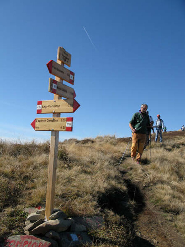
Following the ancient trails trodden by merchants, pilgrims, brigands, and shepherds for millennia
Appennino Tosco-Emiliano can be better discovered if you cross it slowly and gently. The main difficulty lies in the rich choice at your disposal.You can start with easy walks, like the one going from Ventasso Laghi to Calamone Lake across the beech wood (in 10 minutes) and from here to Verde Lake peat bog across the grasslands, in the shade of Mt. Ventasso; from the lake you can reach the summit in one hour and a half (round trip). An alternative route leads to Pratizzano, a huge plain surrounded by meadows and forests (+ 45 min).
Further enchanting itineraries develop around the towns of Cerreto Laghi and Cerreto dell'Alpi: among the others, the itinerary leading to discover Pranda Lake and the surrounding wetlands (leaving from Cerreto Laghi, a route of about 1 h and 45 min.) or, for the most reckless hikers, the itinerary leading from Pranda to the summit of Mt. La Nuda (2 h), or again the trail going down from Cerreto dell'Alpi into the Gorge of Schiocchi dug by the river Secchia (complete ring-route with return to Cerreto: 2 h). The trail leading to the sources of the river Secchia leaves from Cerreto Pass (45 min).
In the Municipality of Corniglio, an easy tour of great charm leads to Lagdei plateau: from here, there is a chair lift leading to Lago Santo, you can go around on foot in about 30 min.
At the southern border with the Province of Lucca there is Orecchiella Nature Reserve, a nature sanctuary with an interesting botanic garden (in location Piè Magnano): climbing from here to Pània di Corfino (about 50 min.), you can enjoy a spectacular panorama over Alpi Apuane. Going ahead along CAI trails, you can get to the summit of Mt. Prado.
Also Lagastrello Pass is a great departure point for wonderful tours, like the tour leading in about 2 h and 30 min. to the Lake of Mt. Acuto or, in about the same time, to the summit of Mt. Giogo, where you will find the premises of the former Nato base and enjoy a wonderful view over La Spezia Gulf and the Alps. From Pradarena Pass you can climb to the summit of Cavalbianco in about half an hour.
There are also several opportunities if you love longer and more complex itineraries, thanks to the thick network of mountain huts situated near the summits of Cusna, Cavalbianco, Alpe di Succiso; among these, the mountain huts «Rio Pascolo», «Monteorsaro», «Bargetana», «Battisti», «Lagoni », «Isera», and «Mariotti».
It is also possible to move along trails characterized by an ancient history, like Spallanzani Trail, connecting Ventoso di Scandiano with San Pellegrino in Alpe in 7 laps: 115 km long, with a total difference in height of 5,000m, it can be completed in one week (Info: www.caiscandiano.it).
Then there is the Grande Escursione Appenninica (Gea) that - in laps - leads to Cerreto Pass, in Lunigiana, across Mt. Acuto, Prato Spilla, Lago Santo Parmense to Due Santi Pass, merging then with Alta via dei Monti Liguri. In this case, you can take part of Sentiero Italia, an itinerary developing along the ridge of the Apennines and the alpine chain, throughout Italy, for about 5,000 km.
Trekking Lunigiana is a ring-route running along the borders of the National Park, in particular in the stretch Apella - Restì di Mommio.


