

- Departure: Berceto (Berceto)
- Involved Municipalities: Berceto
Zona del Parco: From Lunigiana to Parmense
The route mainly follows Via Lombarda, which represented an alternative to Via Francigena and was used by salt smugglers.
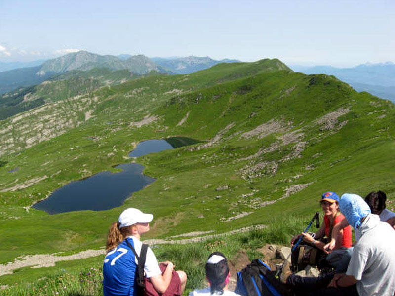
The route crosses Corniglio and Valle del Parma, preserving some of the naturalistic jewels of the northern Apennines, including glacial lakes and mountain peat bogs, beech forests and high-trunk fir tree forests.
Moreover, there are many possibilities to combine the route by car with hikes.
The route leaves from Berceto, at the exit of highway A15 Parma-La Spezia. From here, take the road SS 62 della Cisa, then turn left and take the road SP 15 di Calestano, and follow the road signs to Corniglio. Immediately after, turn right on the SP 74, climbing across pastures and mixed forests to Sillara Pass, beyond which you can go down towards Valle del Parma. Before arriving in Marra, turn left at the junction and, once you reach the valley bottom, turn left again to Corniglio and take SP 116 dei Cento Laghi.
In the town center you will have the opportunity to admire the famous Castle, an evidence of the medieval history of the town.
From Corniglio, go ahead along SP 40 to get to the historical town of Bosco with Castello dei Rossi, of which only a few ruins remain. Besides interesting examples of traditional architecture, there are precious portals and several aediculae. From the town, climb to Lagdei along SP 86 ending in the square in front of the Mountain Hut. Here several routes leave to Lagdei peat bog, Lago Santo Parmense, Lagoni and Pradaccio Lake.
Going back to Bosco, go ahead along SP 108 to Cirone Pass, which replaced the ancient mule track connecting Parma with Valle del Magra. Beyond the pass, go down to the rural center of Pracchiola, a town known for having preserved some chestnut dry-houses, the so-called metati.
Immediately outside the town, you can stop at the first bridge to admire the narrow and deep ravine where the river Magra runs. Go ahead then along SP 42, then turn left to Versola, along a very narrow and damaged road: this alternative route follows one of the many Salt Ways, meeting in several points the Trekking of Lunigiana. You will cross pastures, small vineyards, and scattered rural settlements up to a junction where you will follow the upper road leading to Topleca and, beyond, to the broad clearings of Logarghena Meadows, used as pastures. Once you reach the 1,002m, go ahead on foot if you want to reach Mattei Mountain Hut.
Going back to the junction you can go ahead along the main dirt road, until it becomes an asphalt road. Then turn left to Serravalle.
From Serravalle, following a detour of about 5 km, you will get in Dobbiana Monti country hamlet and, at the following junction, turn left to SP 35 to touch the towns of Lusignana, an ancient feud of Malaspina and Rocca Sigillina, where the landscape becomes more Mediterranean, among olive groves alternating with small vineyards.
Once you go back to the junction, go down - this time on the right - to the town of Caprio, in the valley bottom of the homonymous stream.
The route ends in Filattiera, an ancient town ruled by the Byzantines first and by Malaspina after, situated along Via Francigena. The most ancient part of the town still preserves San Giorgio Castle and San Giorgio Church, while in the northern section there is Malaspina Castle, that has been transformed into a noble residence. Near Filattiera cemetery, along SS 62, there are the ancient Pieve di Sorano, dedicated to Santo Stefano, and an archaeological site with several Statues menhir of Lunigiana.


