

- Departure: Ligonchio di Sopra (982m)
- Arrival: Ligonchio di Sopra (892m)
- Duration: 5 hour/s
- Difficulty Level: T+ - - Tourist (level)+ - 1
- Difference in height: 1,020m
- Maximum Altitude: 1,876m
- Recommended Period: from June to October
- Localities Crossed: Ligonchio - Rio Re - M. Sillano - Il Piano - Ligonchio
- Involved Municipalities: Ligonchio
Zona del Parco: Zone C - Upper Val d'Ozola
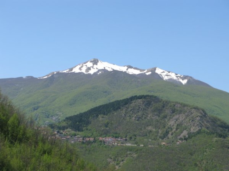
The uphill trail leading to Mt. Sillano from Ligonchio offers a slow itinerary along the forest mule tracks of the small and isolated valley of Rio Re, a beautiful and aerial ridge and a not very busy summit. Take then the downhill mule track of the Piano across Tarlanda hydroelectric plants, an example of impossible didactic route dedicated to industrial archaeology.
 Download KMZ
 Stops: Rio Re Mountain Hut, accessible only in self-management for groups (Tel. +39 0522 628364 or +39 329 4134892) Bivouac Il Piano, always open


